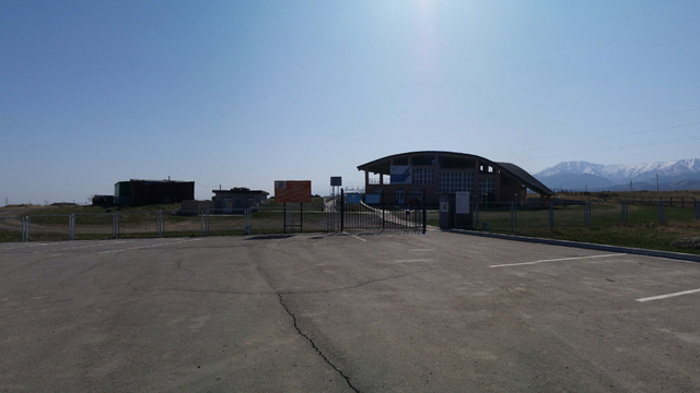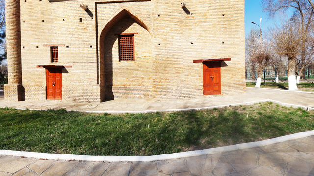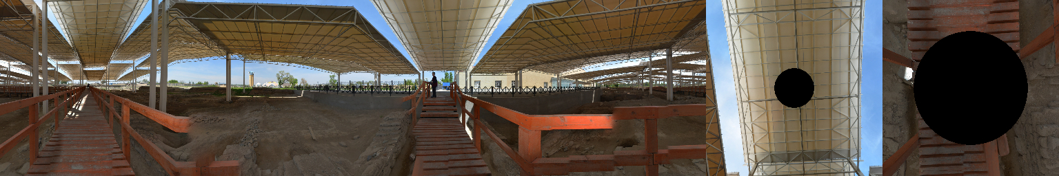
The town of Balasagun or the Burana settlement (X-XIV centuries) is unequivocally identified with the medieval town of Balasagun (Kuz-Ordu, Kuz-Ulush), founded in the early 10th century. The first thing that catches your eye is its medieval burnt brick minaret, the so-called "Burana Tower". It dates back to the end of the 10th century and is considered the earliest surviving minaret in Central Asia.
Balasagun, where followers of Islam, Syro-Nestorianism and Buddhism lived, was an important point on the Silk Road, where active intercultural exchange took place.
In 940, the Karakhanids, the first Turkic dynasty to officially convert to Islam, conquered Balasagun. Along with Kashgar, it became the capital of their state, and after the division into the Eastern and Western Khaganates in 1041-1042, it remained the main city of the eastern part of the empire. Since the 1930s, it has been the capital of the Karakitai state of Western Liao for many decades, and from 1211 to 1218 it was the capital of the Naimans. Under the Mongols, at the beginning of the 13th century, the city was named Gobalyk and existed until the 14th century.
The history of Balasagun is a vivid example of the development of a Muslim city in the northeastern part of Central Asia during the Middle Ages. Balasagun is repeatedly mentioned in written sources, and his memory is perpetuated by Yusuf Balasaguni, who wrote the first work in the Turkic language, the poem Kutadgu bilig ("Blessed Knowledge").
The most famous of the preserved buildings of Balasagun is the minaret, which was part of the cathedral mosque that was not preserved. At one time, its height was about 45 meters, but today 24 meters have been preserved. About 30% of the structures of the current minaret are modern reconstruction from 1970-74. In 2014, the Burana settlement was included in the UNESCO World Heritage List as a component of the nomination "Silk Road: Network of routes of the Chang'an-Tien Shan Corridor", which was presented by China, Kazakhstan and Kyrgyzstan.
The corridor is a 5,000-kilometer section of the Silk Road. It was formed between the 2nd century BC and the 1st century AD and functioned until the 16th century, connecting civilizations and facilitating exchange in the fields of trade, religion, science, technological innovation, culture and art. The illustrations were prepared within the framework of the project "Silk Road Heritage Corridors in Afghanistan, Central Asia and Iran – International aspects of the European Year of Cultural Heritage", implemented by UNESCO with the financial support of the European Union.
The illustrations are the responsibility of the author and do not reflect the point of view of the European Union.
Author - Nicolas Journoud
European Union in Kazakhstan
#UNESCOSilkRoadsEU #EUinKZ #EUinKazakhstan